Located in the western part of the Mediterranean sea, the Italian island of Sardinia lies between Europe and the north of Africa.
Sardinia boasts some of the most breathtaking beaches and mesmerising coastal landscapes in the world, making it a haven for beach lovers, sun seekers, and drone photographers. The island is blessed with a diverse range of shorelines, from secluded coves tucked away between rugged cliffs to expansive stretches of golden sand that seem to stretch endlessly. And with incredible clear aqua water that looks like it’s from the Caribbean, it’s the perfect island destination to explore via drone!
Take a look at Sardinia for yourself with my 10 favourite drone shots from our island adventures on the La Maddalena Archipelago, La Pelosa Beach and Cala Goloritzé.
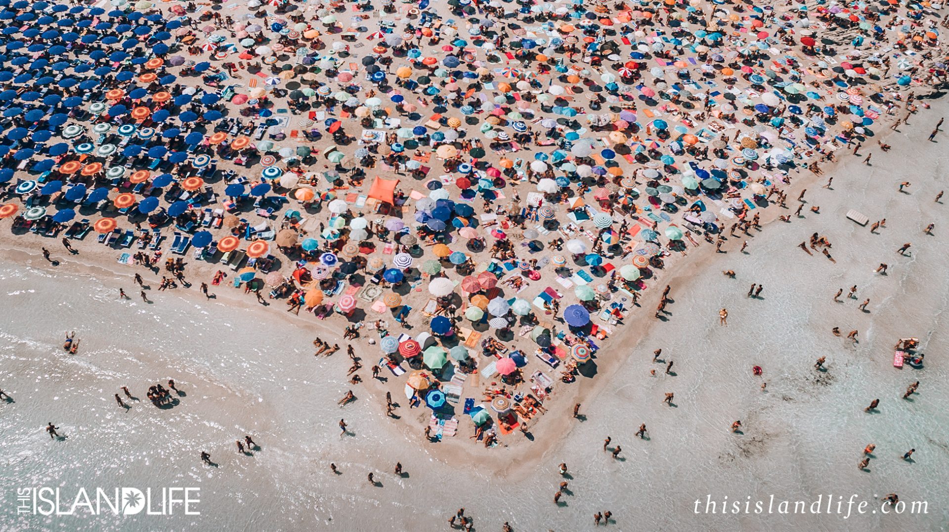
1. Experiencing peak summer (August) at La Pelosa Beach, Stintino
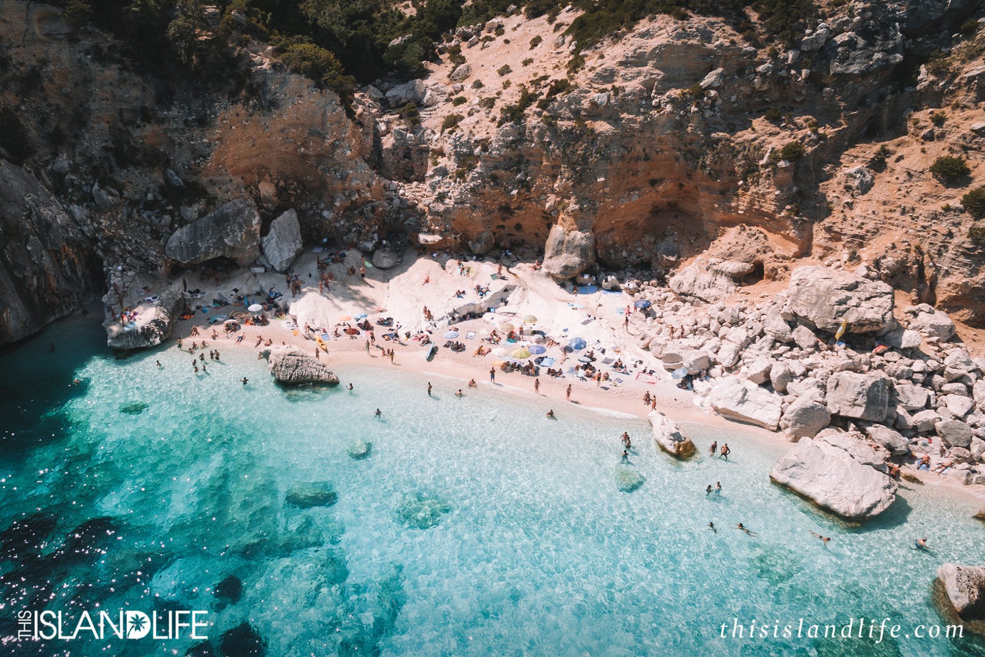
2. The rocky shores (created by a landslide in 1962) of Cala Goloritzé
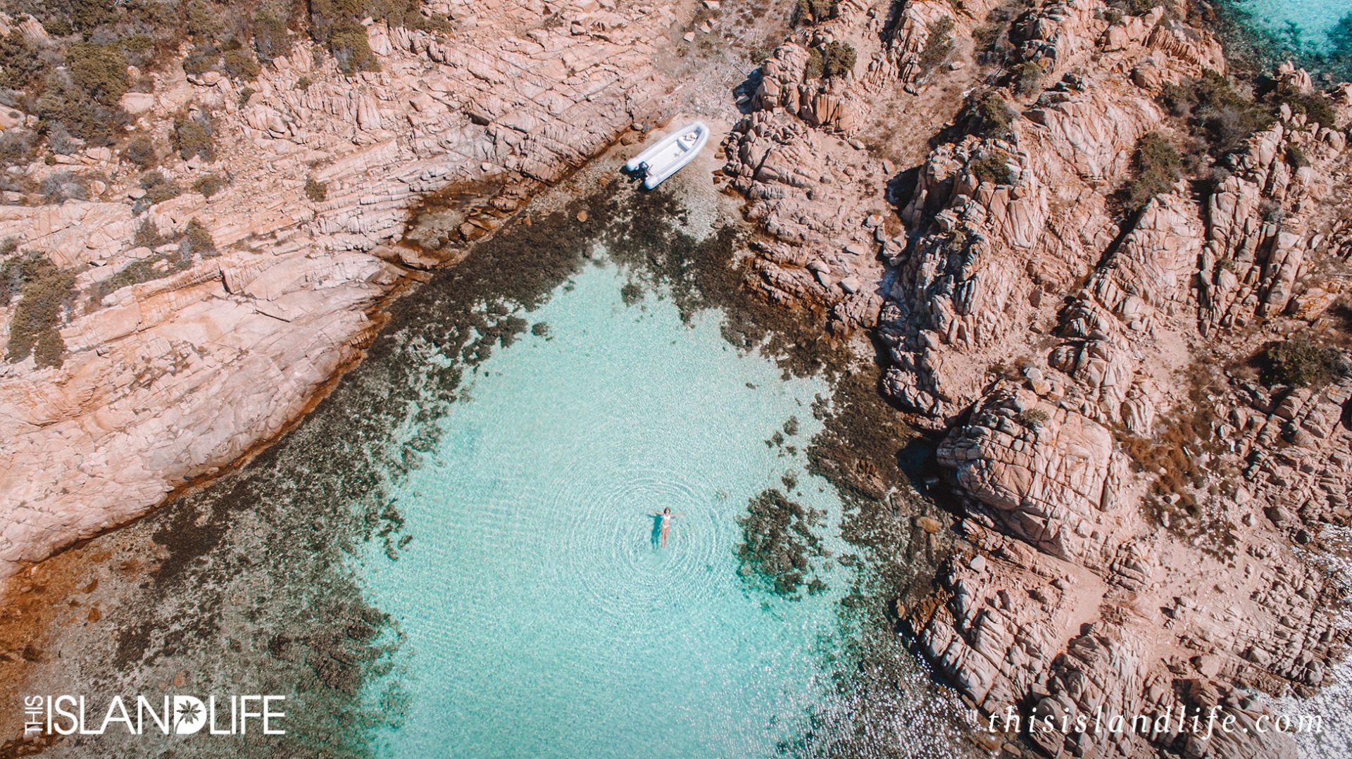
3. Exploring hidden coves on the La Maddalena Archipelago
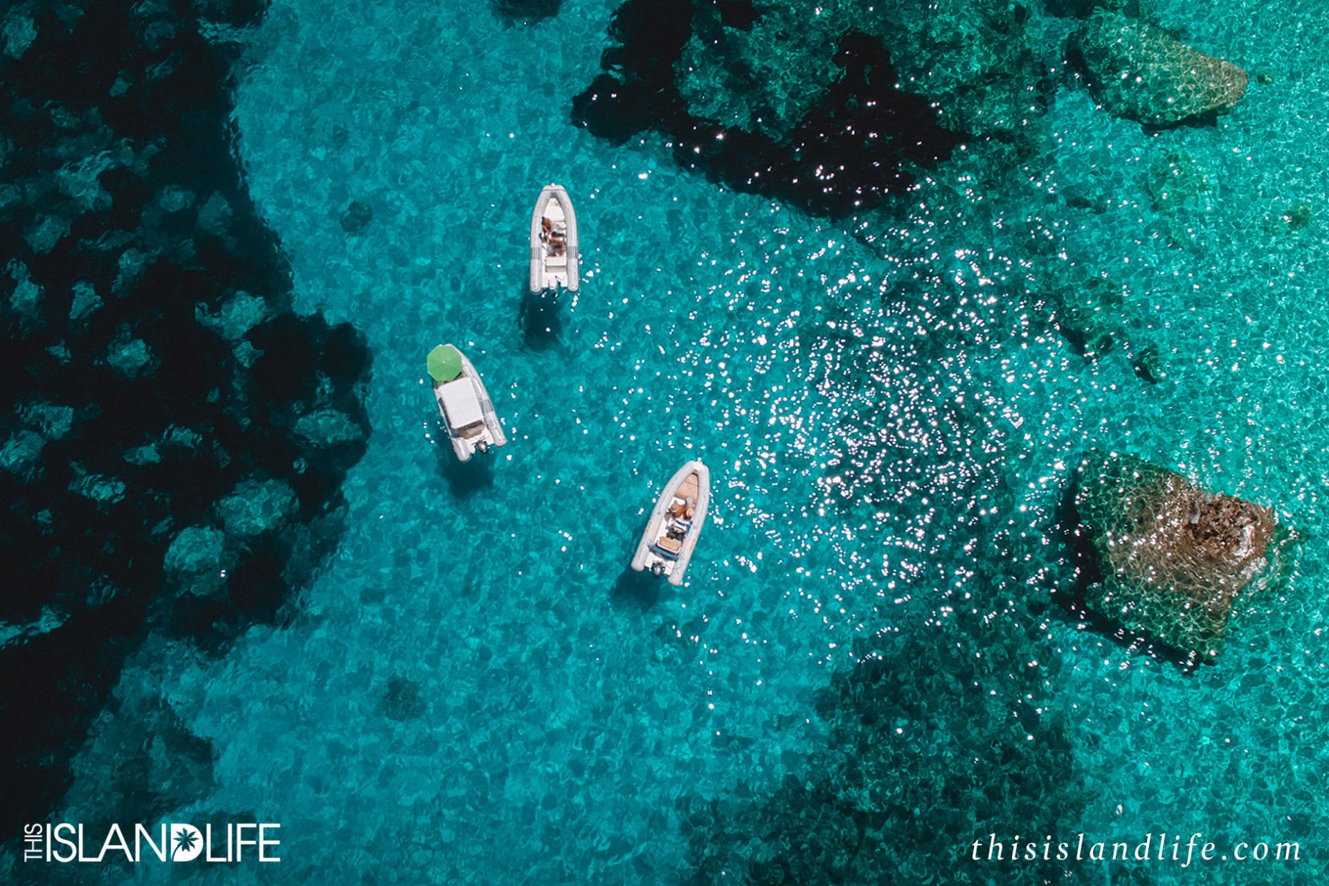
4. Tiny boats and rocky reefs at Cala Goloritzé
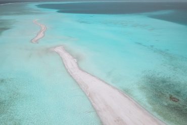
5. The dreamy aqua swirls of the sea at La Pelosa Beach, Stintino
6. The famous 143-metre-tall limestone pinnacle of Cala Goloritzé

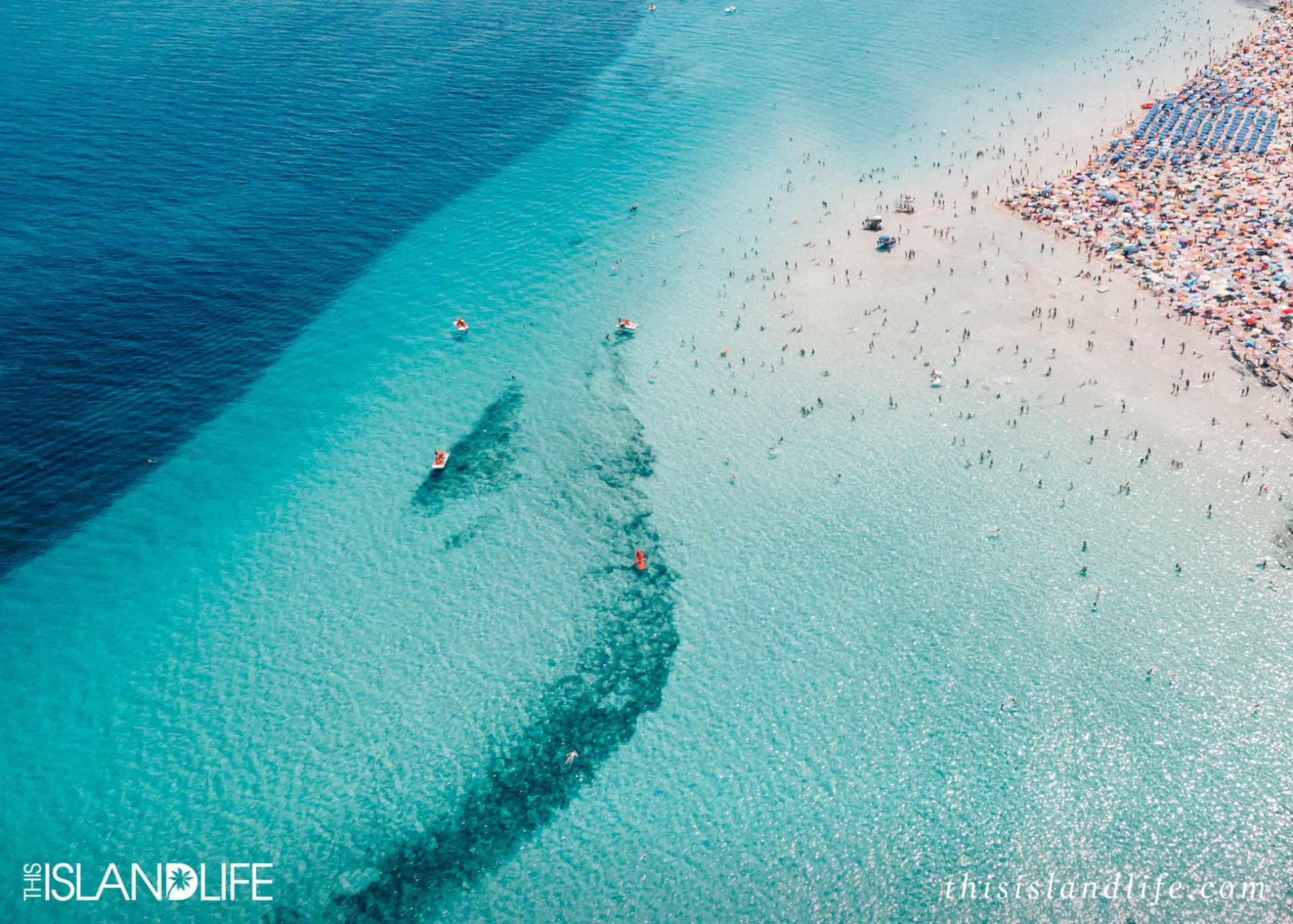
7. Italy’s version of the Caribbean at La Pelosa Beach, Stintino
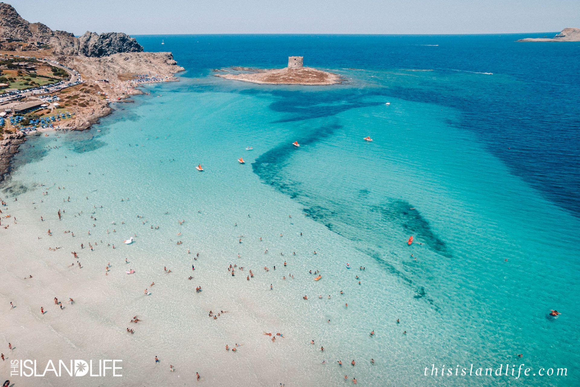
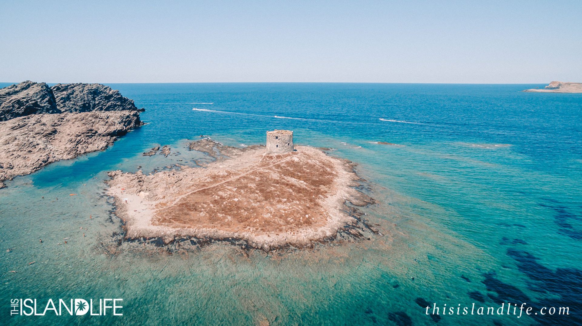
8. The iconic 16th century watch tower at La Pelosa Beach, Stintino
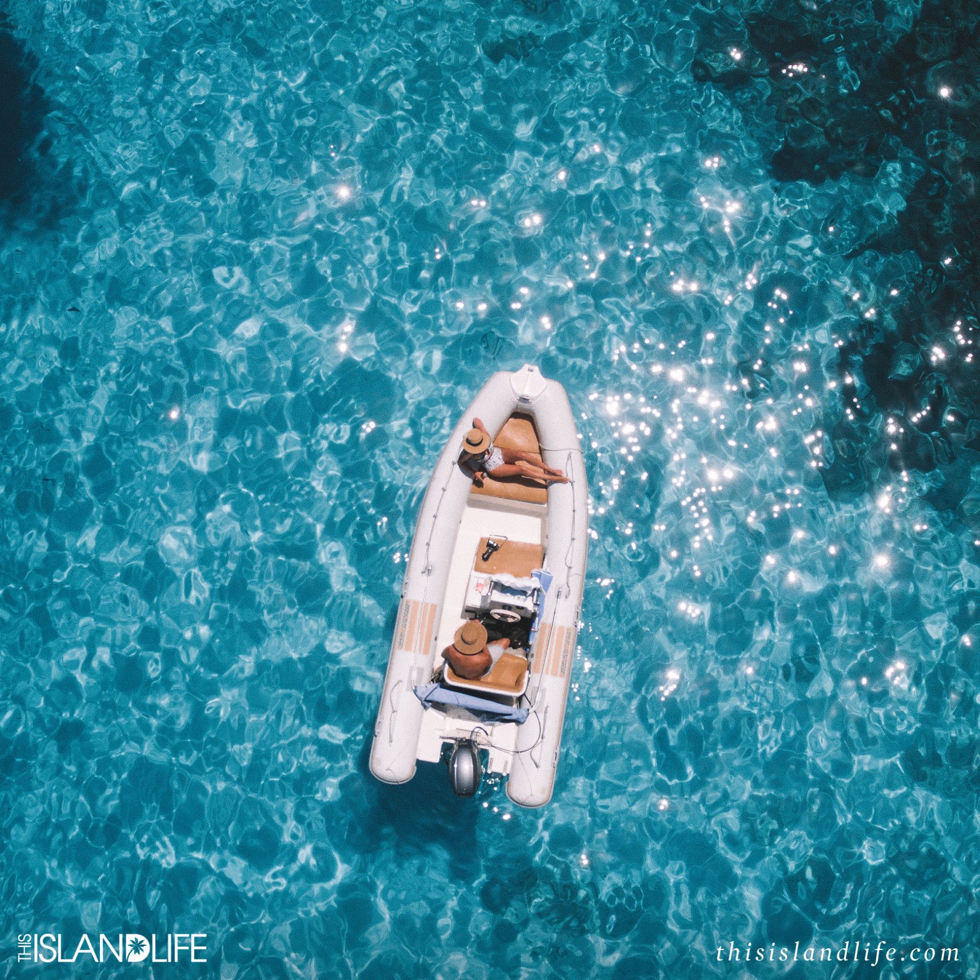
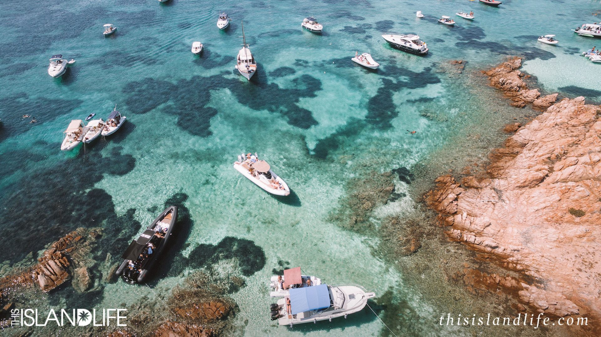
9. Yacht life on the La Maddalena Archipelago
10. Living my best boat life at Cala Goloritzé